CONSERVATION
EASEMENTS
Conservation Easements
The Fallbrook Land Conservancy works to protect land permanently through Conservation Easements and land mitigation projects.
Conservation Easements: These are legal agreements that limit development on private land while keeping ownership with the landowner. Easements help preserve wildlife habitat, open space, and scenic landscapes, ensuring these lands remain protected for future generations.
Civil Code Section 815: Legislature finds and declares that the preservation of land in its
natural, scenic, agricultural, historical, forested, or open‐space condition is among the
most important environmental assets of California. The Legislature further finds and
declares it to be the public policy and in the public interest of this state to encourage the
voluntary conveyance of conservation easements to qualified nonprofit organizations.
Land Mitigation
Land Mitigation: In some cases, development impacts sensitive habitats. Land mitigation offsets these impacts by restoring or protecting other natural areas, helping to maintain ecosystem balance and biodiversity.
Together, easements and mitigation efforts allow FLC to safeguard critical lands, protect natural resources, and support a resilient and thriving local environment.
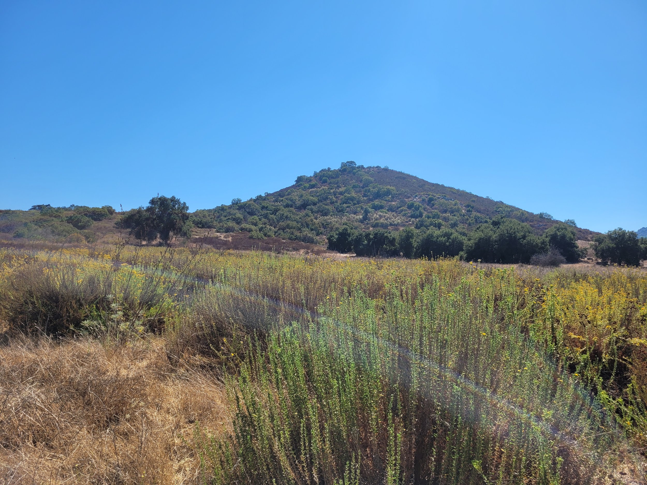
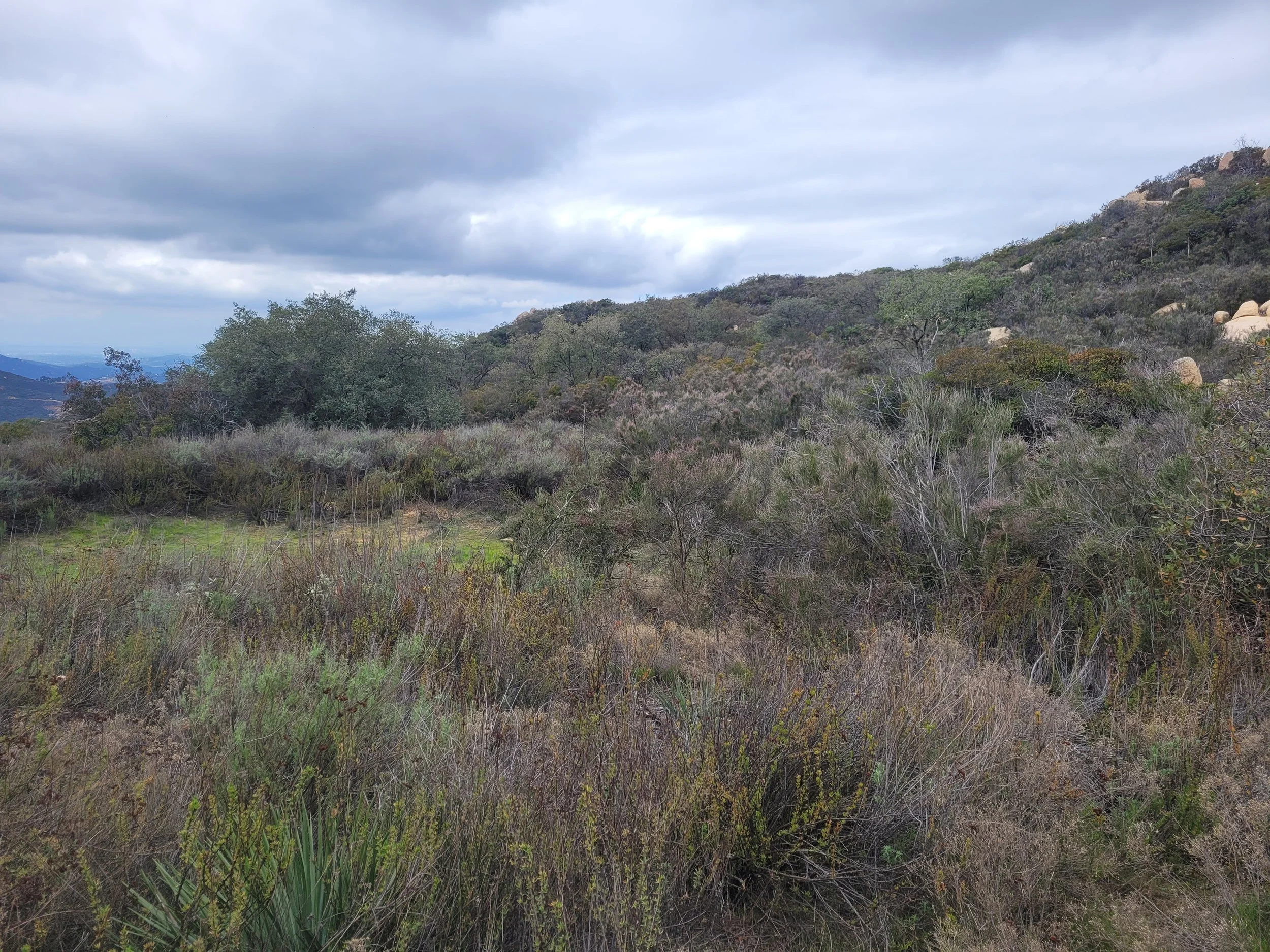
Red Mountain
-
Date of Acquisition: January 14, 2011
Watershed: Santa Margarita River Watershed
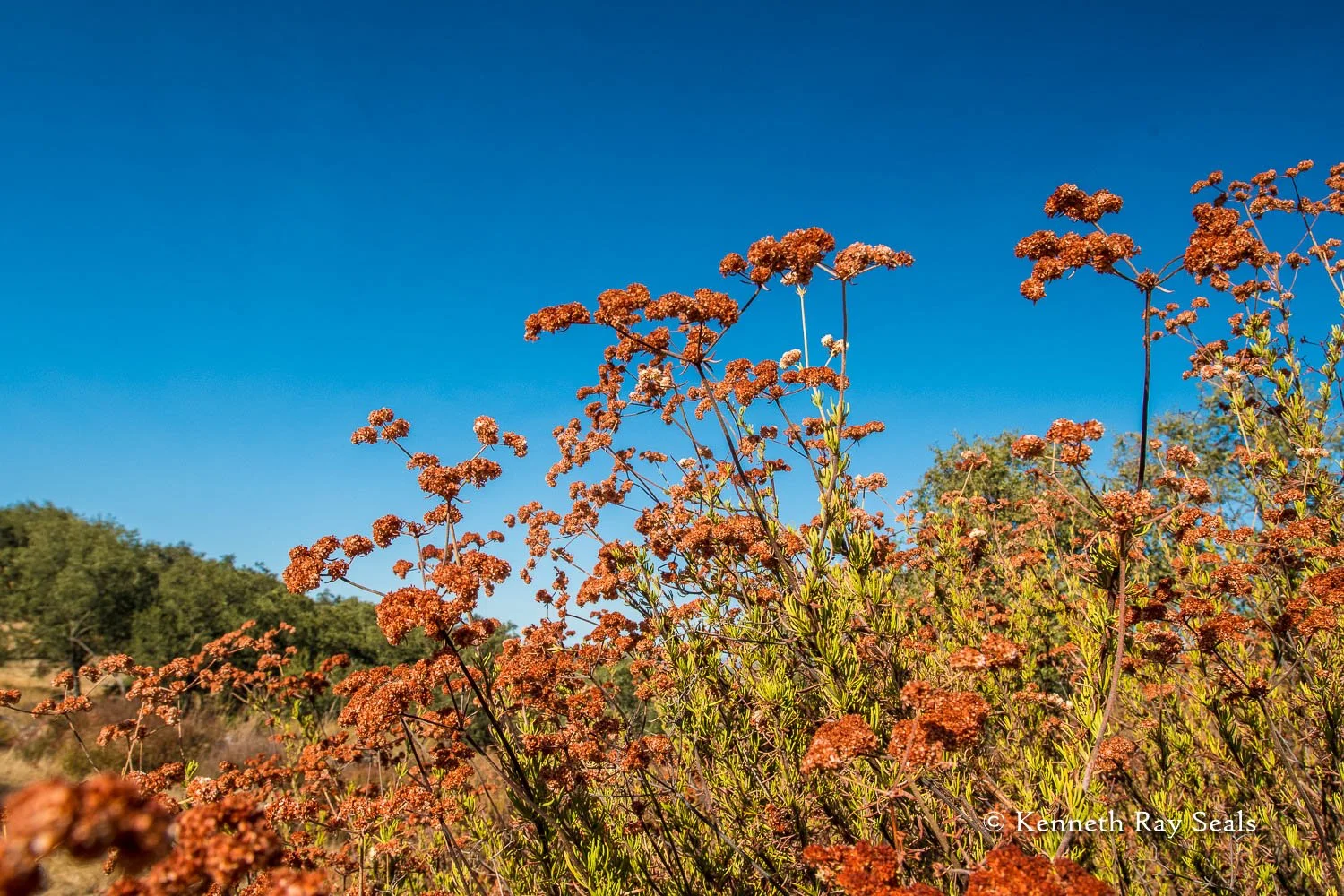
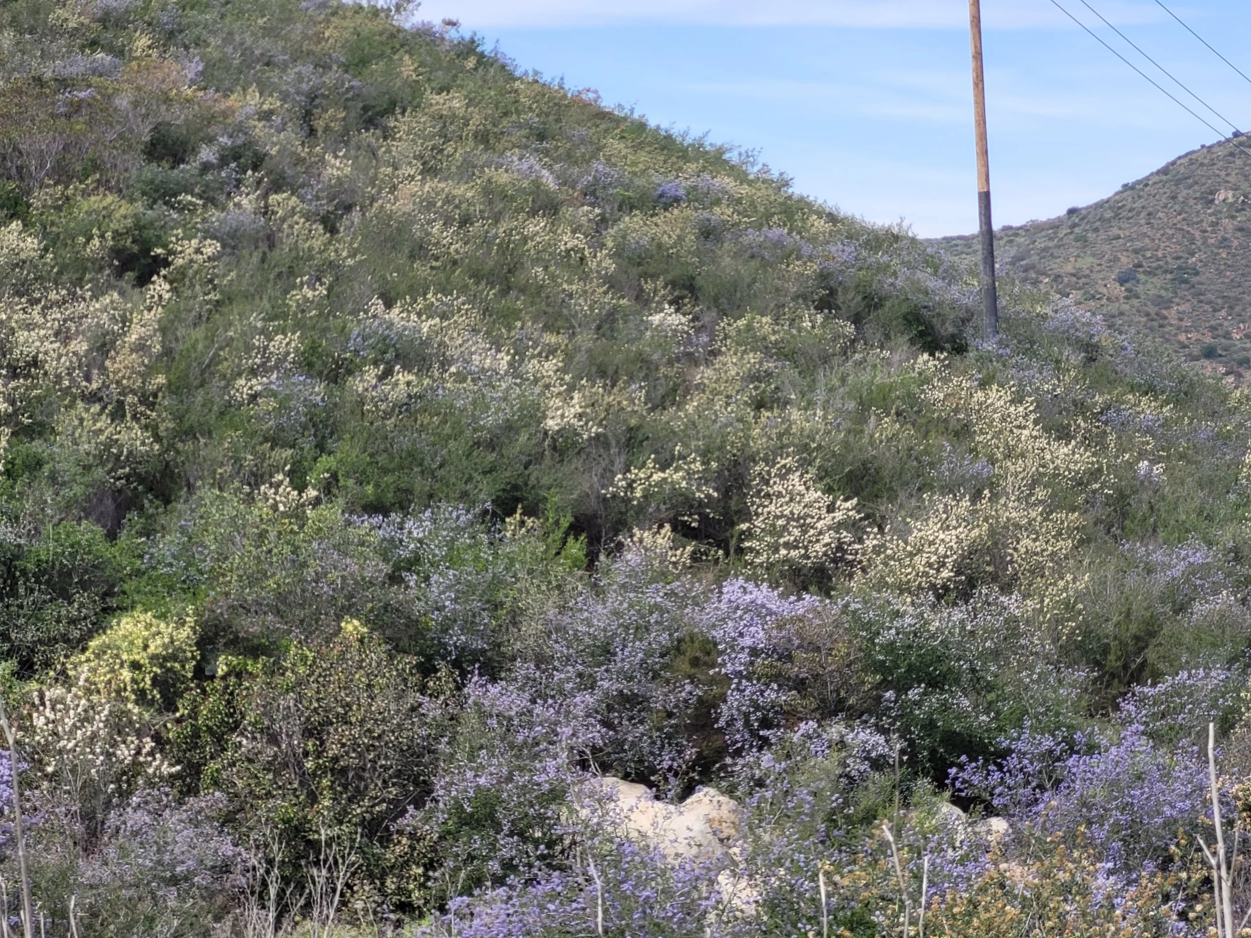
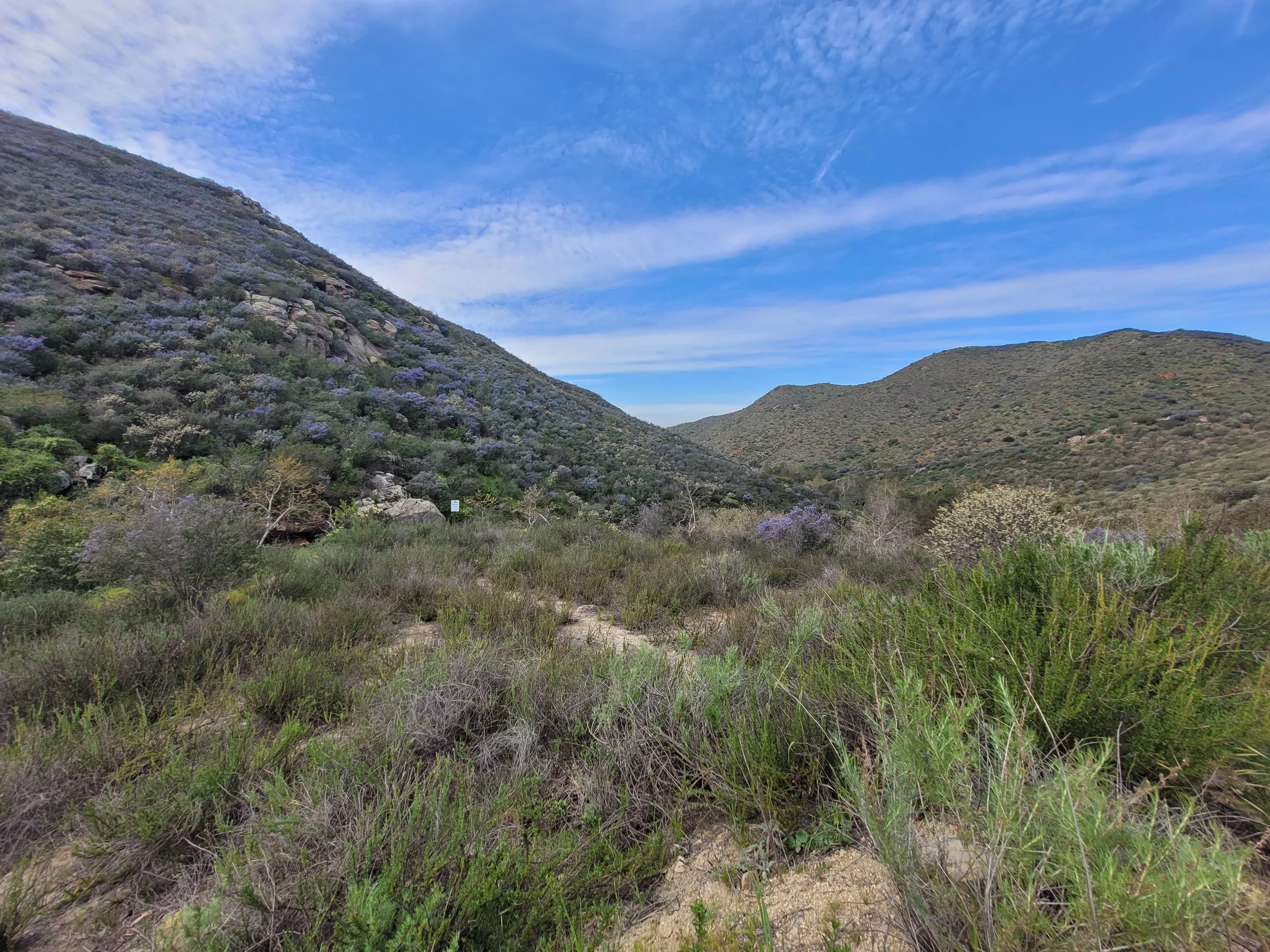
Red Mountain Conservation Bank is a 566-acre conservation bank, privately owned by Land to Sea Conservancy. Fallbrook Land Conservancy is grantee to the conservation easement, ensuring its permanent protection. The Preserve consists of coastal sage scrub, chaparral and riparian habitats, and supports a large segment of Rainbow Creek.
More information on Red Mountain Conservation Bank can be found here. The Red Mountain Conservation Bank - Mitigation Credit Services
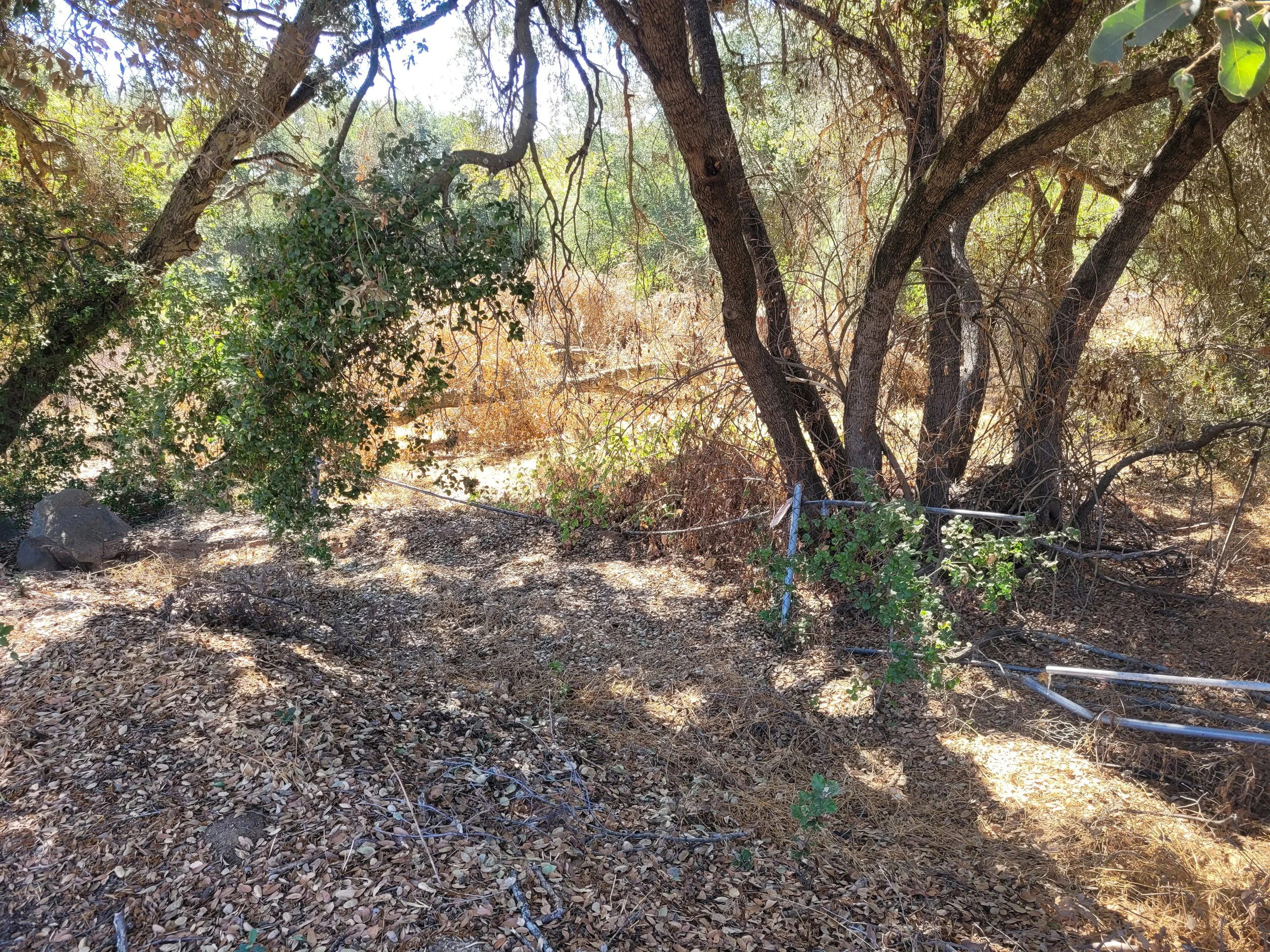
Brook Forest
-
Date of Acquisition: March 29, 2016
Watershed: San Luis Rey Watershed
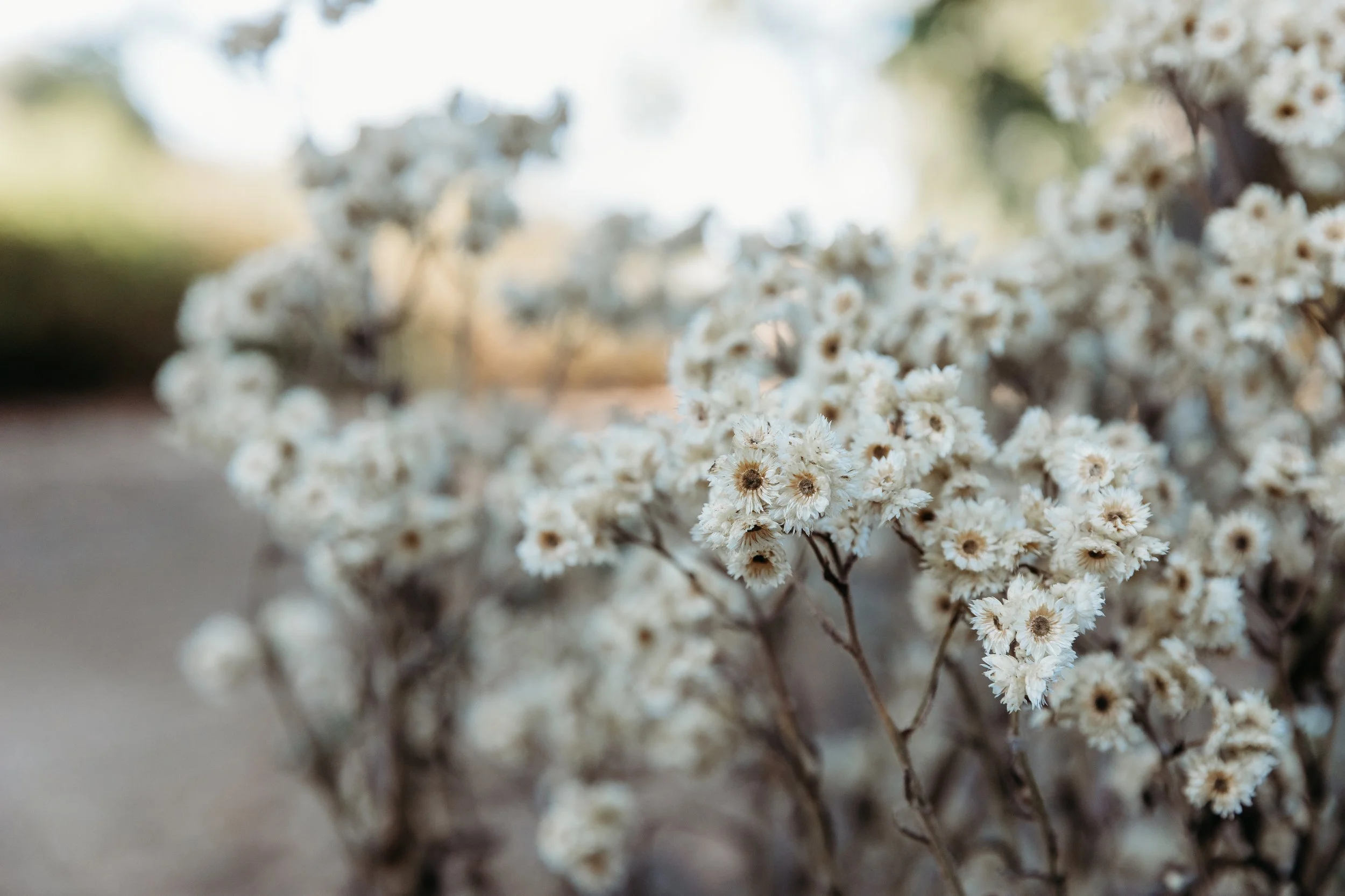
Brook Forest Mitigation Bank is 224 acres of conserved land located in Valley Center. Fallbrook Land Conservancy is grantee to the conservation easement, ensuring its permanent protection. The Preserve supports 237 species of plants, including Engelmann oak, and 104 species of animals, including at least 67 species of birds.
More information on Brook Forest Mitigation Bank can be found here.
Willow Road
-
Date of Acquisition: February 17, 2016
Watershed: San Diego River Watershed
Willow Road Conservation Bank is 71 acres of conservation land in Lakeside. Fallbrook Land Conservancy is grantee to the conservation easement, ensuring its permanent protection. The Preserve supports species like the coastal California gnatcatcher, Palmer’s goldenbush, Lakeside lilac, and San Diego coast horned lizard.
More information on Willow Road Conservation Bank can be found here.
The Willow Road Conservation Bank - Mitigation Credit Services
Creek Side

-
Date of Acquisition: September 15, 1995
Watershed: San Luis Rey River
Creekside Conservation Easement consists of two privately owned parcels in which a portion was set aside for permanent protection. These conservation easements protect riparian habitat along Cienega Creek in Fallbrook, ensuring lasting habitat for migratory and resident songbirds.
Sycamore
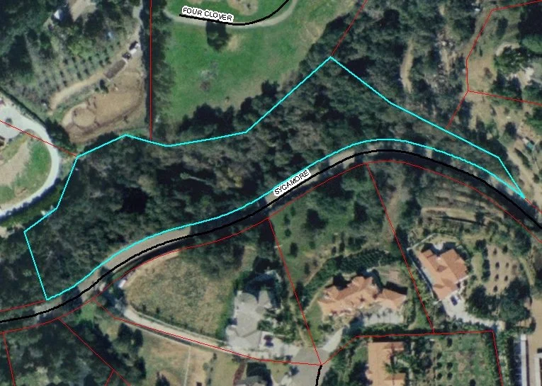
-
Date of Acquisition: September 11, 1990
Watershed: San Luis Rey River
Sycamore Conservation Easement is a privately owned parcel with a portion set aside for permanent protection of riparian and oak woodlands. This conservation easement was set aside to protect oak woodland.
Pauma Tribal Farms
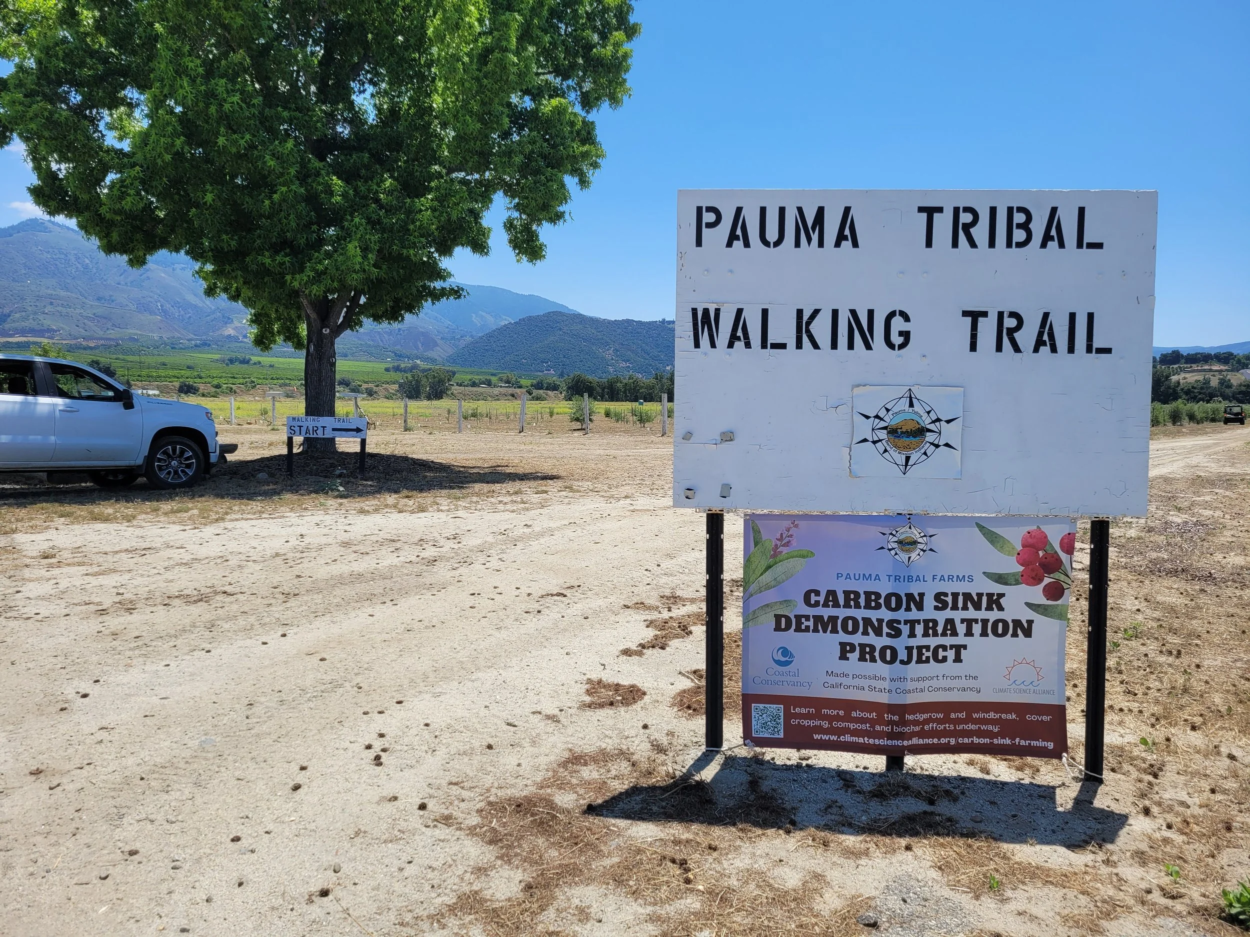
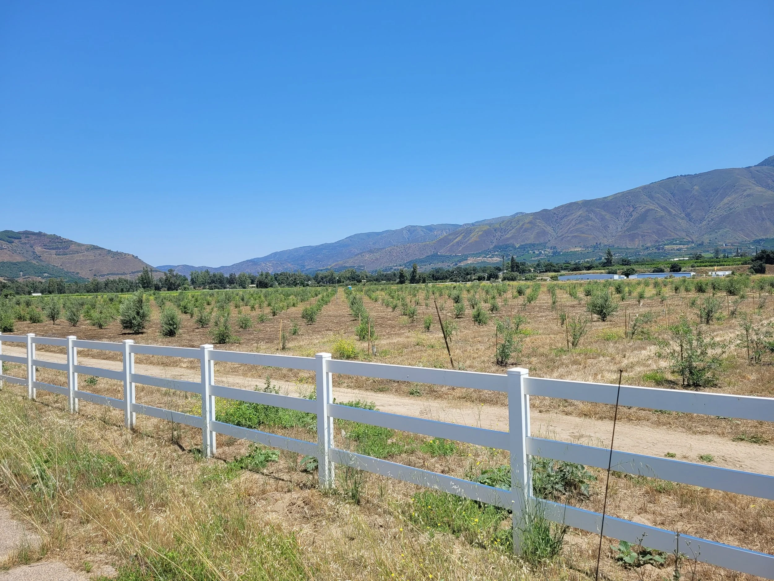
-
Date of Acquisition: December 31, 2004
Watershed: San Luis Rey River
The Pauma Tribal Farms Agricultural Conservation Easement (formerly Tierra Miguel Farms) was acquired through a partnership with the U.S. Department of Agriculture Natural Resources Conservation Service and the California Department of Conservation to protect prime and agricultural farmland in Pauma Valley. Today, the Pauma Band of Luiseño Indians proudly farms and care for this land, while Fallbrook Land Conservancy is grantee to the conservation easement to ensure protection of its rich agricultural heritage and resources.
More information on Pauma Tribal Farms can be found here.
Skyline
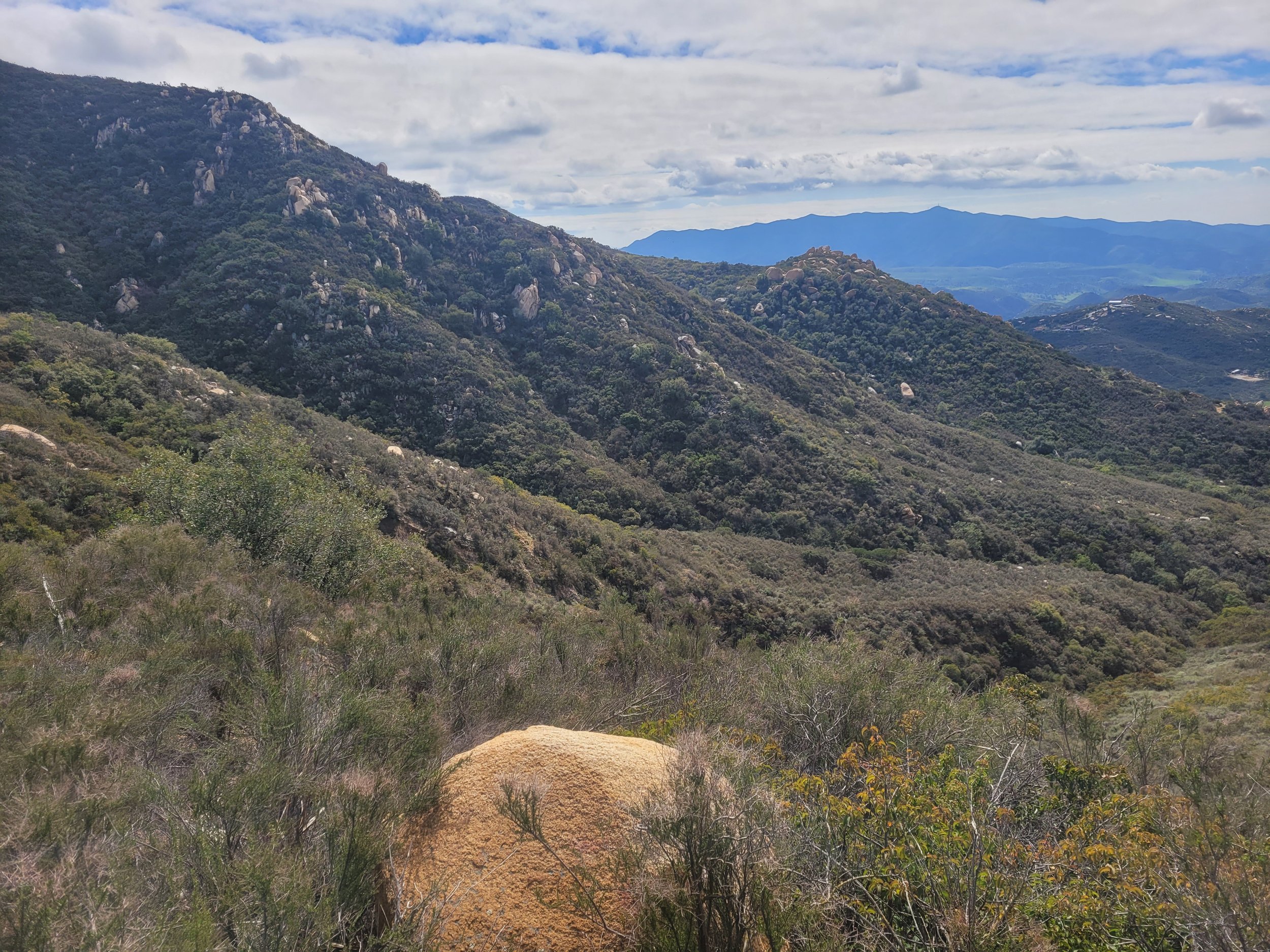
-
Date of Acquisition: April 11, 2024
Watershed: Sweetwater River Watershed
Skyline Conservation Bank is an approximately 200 acre Preserve in Jamul set aside to protect the endangered Hermes copper butterfly and Engelmann oak. Through a partnership with Endangered Habitats Conservancy and Skyline Land Partners, Fallbrook Land Conservancy is grantee to the conservation easement to ensure this Preserve’s permanent protection.
More information on Skyline Conservation Bank can be found here.
Celebrating the Approval of the Skyline Conservation Bank — EnviroMINE, Inc.
What is Land Mitigation?
Land mitigation is a process used to offset environmental impacts caused by development. When construction or other land use activities harm habitats, wetlands, or sensitive ecosystems, mitigation ensures that equivalent natural areas are restored, preserved, or enhanced elsewhere.
It compensates for habitat loss so that overall ecosystem health is maintained.
It can include restoring degraded lands, creating new habitats, or protecting existing natural areas.
Mitigation projects are often required by law when development affects regulated habitats, wetlands, or endangered species.
The goal is to balance development with environmental protection, ensuring that wildlife, plants, and ecosystems continue to thrive.